First Warn Forecast: Active weather pattern starts today with rain changing to wintry mix
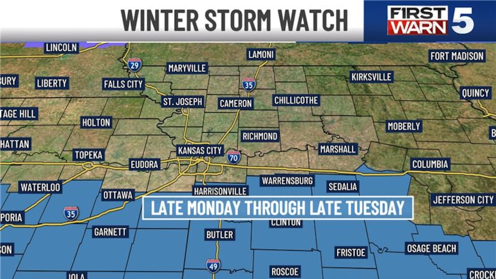
KANSAS CITY, Mo. (KCTV) - Confidence continues to grow for more significant snow this next Tuesday. At this time, we are expecting the highest of the snowfall totals to be near and south of I-70. The National Weather Service has issued a Winter Storm Watch that goes into effect late Monday and lasts through late Tuesday. 6 to 8+ inches of snow is looking likely in the highlighted counties. More counties to the north could get added soon.
First Warns and First Warn Weather Days
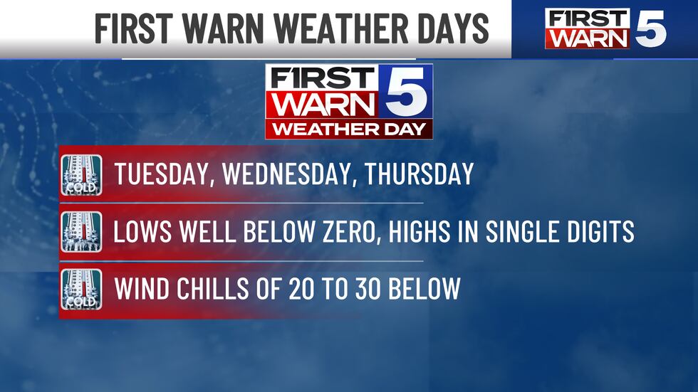
Temperatures will continue to plummet overnight into Sunday with another First Warn in place for cold temperatures, with a high of 18 degrees. We are First Warning Sunday for bitter cold, with morning wind chills from -5 to -15. Next week will be much more impactful, with significant snow likely and record cold. We have top alert First Warn Weather Day in effect for Tuesday, Wednesday, and Thursday as winter blasts the area.
Monday remains cold and with the chance for some spotty snow showers. High temperatures remain in the frigid teens. Unfortunately, temperatures will be going down from there.
Tuesday through Thursday we have elevated to First Warn Weather Days as life-threatening cold temperatures are possible.
Tuesday
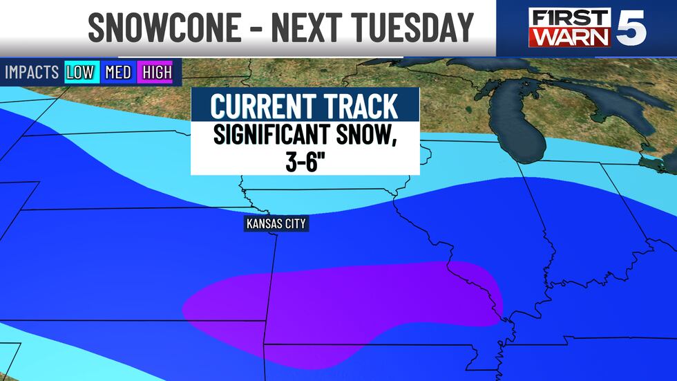
Tuesday is a First Warn Weather Day for both widespread snow potential and brutally cold temperatures. At this time, snow looks to be possible throughout the day with the potential for light to moderate snowfall potential. Models are indicating anywhere between 3″- 6″ at this time. More is possible if the storm system tracks north, though less would occur if the storm tracks south. These wiggles in the track will determine how much we get, but we need to be thinking about the likelihood of impactful snow next week.
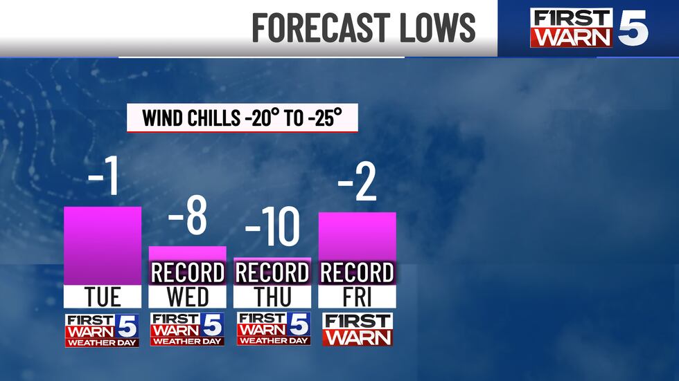
Without the snow, Tuesday will be dangerously cold. Temperatures start below zero in the morning and only reach five degrees in the afternoon. Feels like temperatures of 15-25 below will be possible. If snow does occur- and that looks likely- it would likely be another dry and powdery snow.
Wednesday through Friday
Spotty snowfall may be possible again on Wednesday but we are highlighting Wednesday as a First Warn Weather Day for dangerous cold. Morning temperatures start out at eight below zero (which would set a new record) and highs only reach the upper single digits. Wind chill values of 20-30 below zero will be possible. We will likely not feel about zero throughout the day.
We dry out for Thursday but a First Warn Weather Day for dangerous cold remains. Thursday morning will be EVEN colder, with temperatures of 10 below zero with feels like temperatures 20-30 below zero. Temperatures do make a comeback into the mid-teens by the afternoon.
A First Warn is in place for Friday as we start below zero (feels-like temperatures at 5-15 degrees below zero), so not as drastically cold as other days. We reach up to around 20 by the afternoon.
Nonetheless, this next seven-day period will bring snow potential and very dangerous cold. Please stay safe in the cold, and don’t forget about your pets. With the dangerous windchills we are expecting next week, they need to be inside. Frostbite can settle in under 30 minutes.
Continue to check back with the First Warn 5 Weather Team for the latest updates.
Copyright 2025 KCTV. All rights reserved.


