FIRST WARN FORECAST: This afternoon another batch of scattered rain
KANSAS CITY, Mo. (KCTV)—The chances of rain and thunderstorms continue today and Thursday, but relief is in sight for a spectacular weekend!
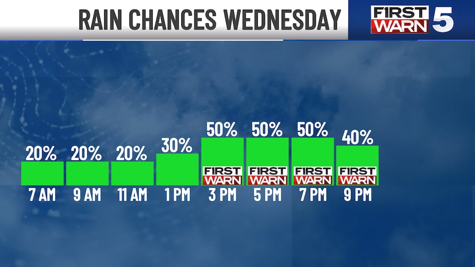
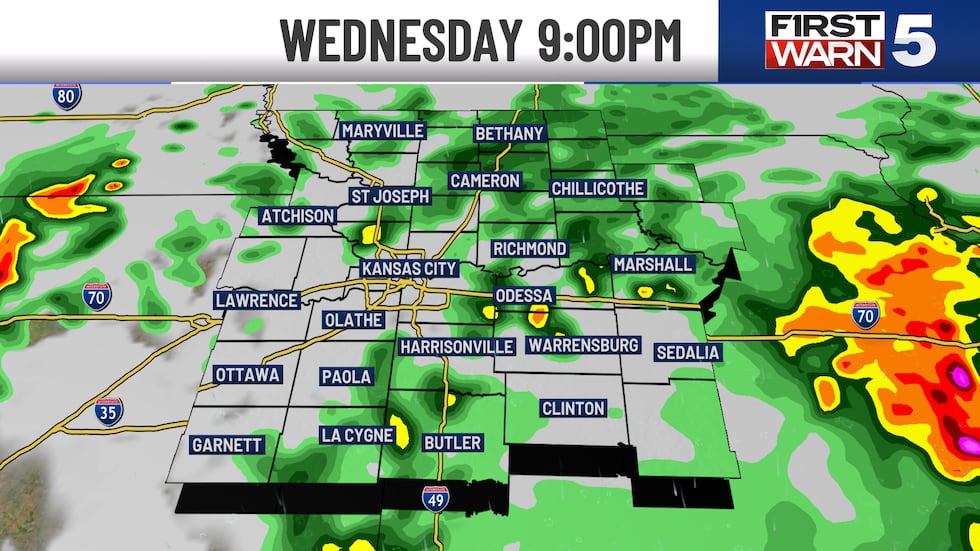
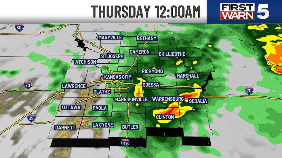
The First Warn is in place this afternoon to evening as scattered rain and thunderstorms move in. One or two strong to severe storms are possible in our east/southeast with gusty winds and heavy rainfall as the primary threats. This looks to be broken, so off and on. Not a washout by any means. If you have plans out and about, just keep an eye on the radar.
High temperatures reach the 60s for most of us and we are expecting to stay locked under a cloudy sky.
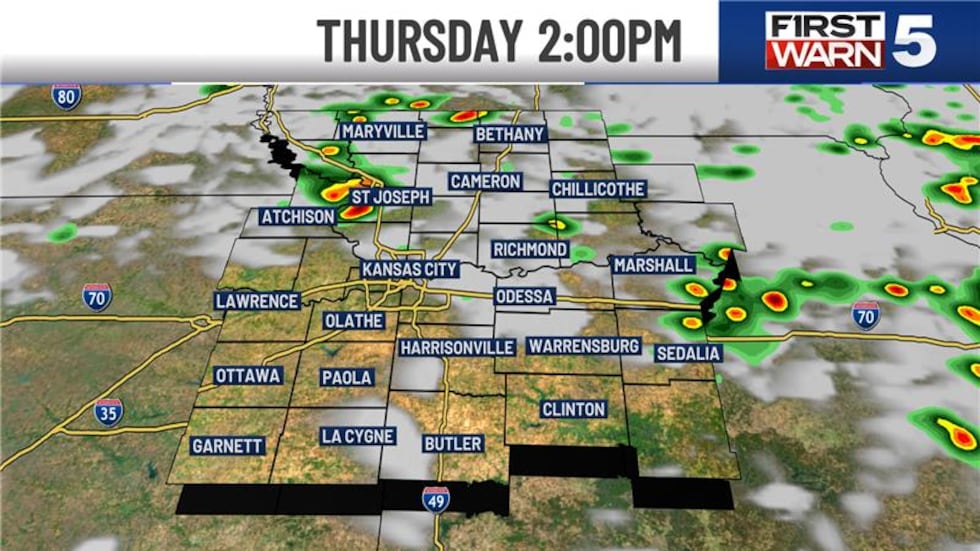
THURSDAY: Thursday brings another First Warn, but rain and thunderstorm activity is looking rather spotty. Not everyone will see rain, and there will likely be periods of dry time too. High temperatures return to the low 70s, and we may see a few peaks of sunshine.
WEEKEND: We will start to dry out on Friday, but still have a 20% chance we may see a ing shower. Overall, Friday looks nice! We will see mostly sunny skies and high temperatures in the upper 60s to low 70s. Saturday and Sunday look great and DRY! Sunshine and high temperatures in the 70s! The dry and pleasant weather conditions into the first part of next week, too..
To get the latest weather updates sent to your phone, the KCTV5 Weather app here.
Copyright 2025 KCTV. All rights reserved.